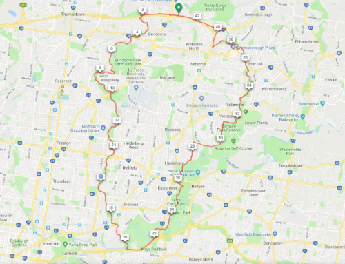
Ceres Environment Park (via Merri Creek/St Georges Rd) Ride
Full Ride
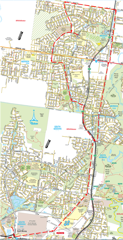
Start/Finish is at the Whittlesea Public Gardens at the end of Barry Rd, Lalor The Route goes down the Craigieburn Bypass to the Western Ring Road, across the pedestrian bridge and continues along the Western Ring Road Path, until the start of the Merri Creek Path. Follow the Merri Creek Path to Ceres Environmental Park for a look around and refreshments.
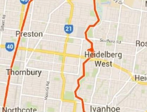
The return route is via Arthurton Rd to the St Georges Rd bike path up to the Cheddar Rd path then taking the Maroondah Aqueduct for about a kilometre to find the link to the Darebin Creek trail. Complete the ride by following Darebin Creek to the Ring Rd trail and the Galada Tamboore trail to the Start/Finish.
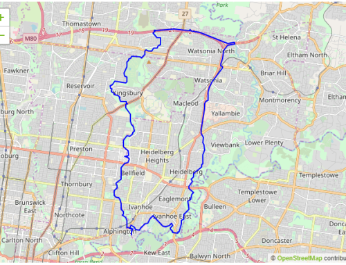
Shorter Ride
This is an easy ride of about 40km with several potential short cuts if desired.
Full Length: 40 km
Difficulty: Easy
Elevation: Flat
Path Types: Shared User Path (Concrete/Asphalt)
On-Road(w/ Bike Lane) ≤ 80 km/h
Trails: Merri Creek
St Georges Rd
Western Ring Road
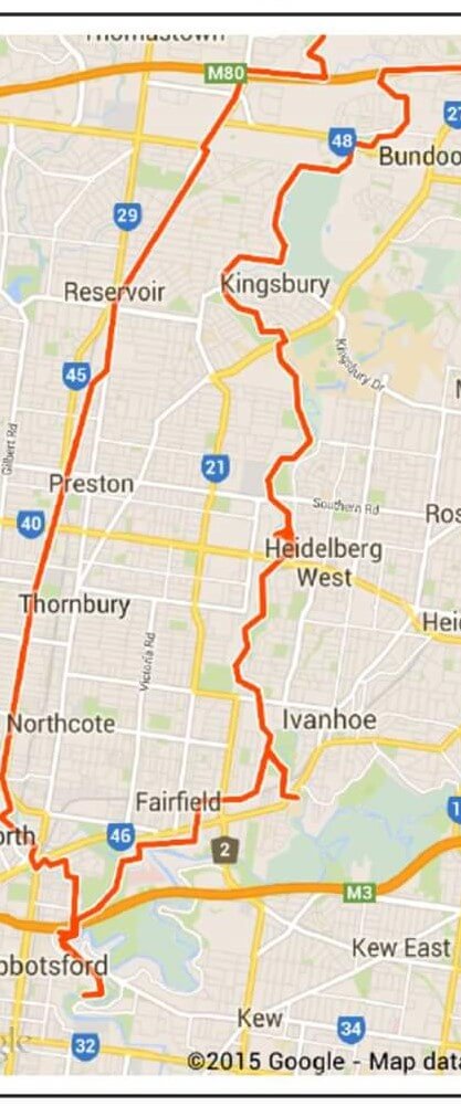
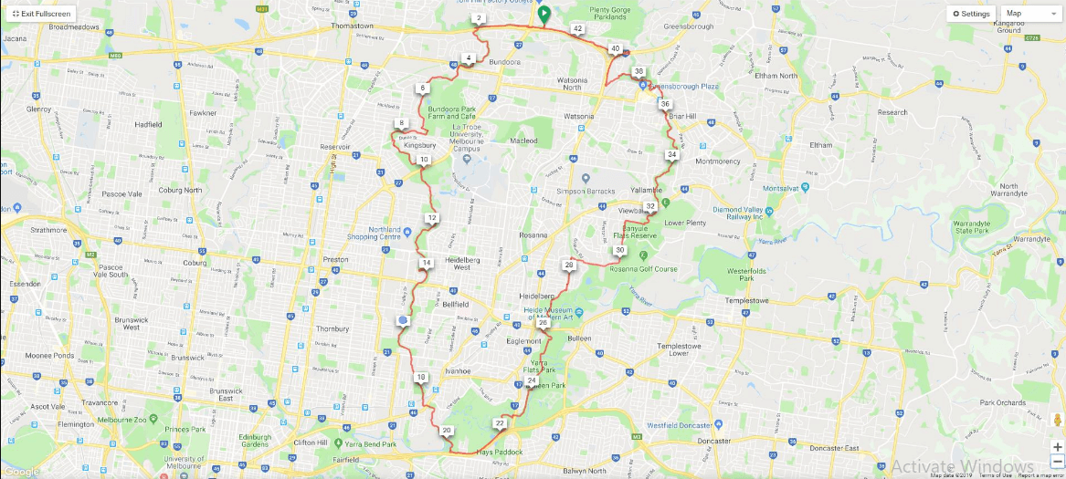
Ride Map


Leave A Comment